The Short-Term Rental Ordinance was passed 3-0 at the August 13th Board of Supervisors meeting. Below is the final approved and signed document
Tag Archives: august

Planning Commission Meeting Tuesday, August 26th is cancelled

The regularly scheduled monthly meeting of the Bridgeton Township Planning Commission has been cancelled, as there are no items on the agenda.
The next scheduled BTPC meeting will be September 23, 2025

Bridgeton Township Summer Program Aug. 16th – Info Expo


For more information about this and other programs contact Bridgeton Township:
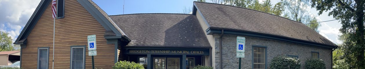
1370 Bridgeton Hill Road Upper Black Eddy, PA 18972
(610) 982-5255
Bridgeton Township Summer Program Aug. 10th – Lenape History & Culture


For more information about this and other programs contact Bridgeton Township:
1370 Bridgeton Hill Road Upper Black Eddy, PA 18972
(610) 982-5255
Bridgeton Township Summer 2025 Events! Aug. 2nd – Bucks County SPCA: More than Just Adoption

For more information about this and other programs contact Bridgeton Township:
1370 Bridgeton Hill Road Upper Black Eddy, PA 18972
(610) 982-5255

Supervisors October 9th Meeting rescheduled for Wednesday, 10/23.

The October Supervisor’s Meeting, regularly scheduled for Wednesday, October 9th, has been postponed due to lack of quorum.
The meeting has been rescheduled for Wednesday, October 23rd at 7:00 pm.
Supervisors Meeting, Live and Zoom Wednesday, August 14th, 7pm


Delaware River expected to crest below Flood level at Riegelsville Sunday morning.


According to the NOAA River Forecast website, the Delaware River is expected to crest at the Riegelsville Bridge river gauge at 14 feet Monday morning, a foot below the Action Level. Below are the river levels (note that the level is relative to sea level, so doesn’t match the other levels) and expected impacts and a chart showing historic crests:


These images were taken from the National Oceanic and Atmospheric Administration, which maintains and monitors river gauges along the length of the Delaware River. For more much information, here is a link to the NOAA Riegelsville River Gauge, which is updated regularly:
https://water.noaa.gov/gauges/RGLN4
The main NOAA River Forecast site is available here:
Delaware River expected to crest below Flood level at Riegelsville Sunday morning.
According to the NOAA River Forecast website, the Delaware River is expected to crest at the Riegelsville Bridge river gauge at 14 feet Monday morning, a foot below the Action Level. Below are the river levels (note that the level is relative to sea level, so doesn’t match the other levels) and expected impacts and a chart showing historic crests:
These images were taken from the National Oceanic and Atmospheric Administration, which maintains and monitors river gauges along the length of the Delaware River. For more much information, here is a link to the NOAA Riegelsville River Gauge, which is updated regularly:
https://water.noaa.gov/gauges/RGLN4
The main NOAA River Forecast site is available here: